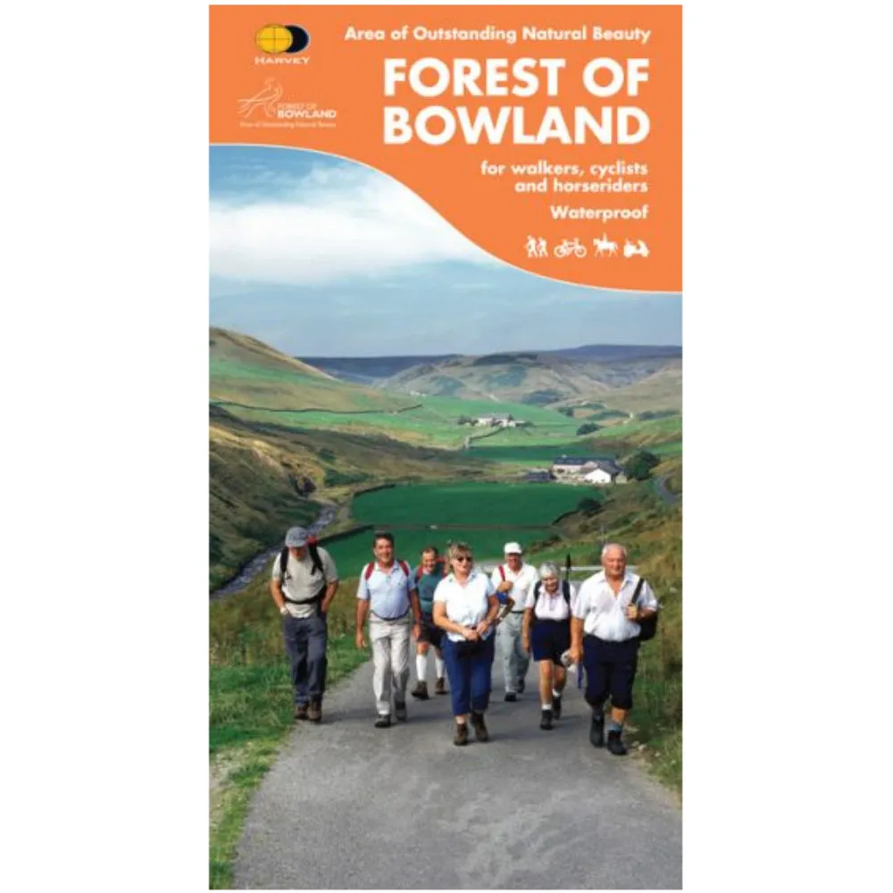
This map of the Forest of Bowland is 2-in-1. On one side is a walking map; on the other a map suitable for cyclists and horseriders.
"The Forest of Bowland has a lot to offer walkers, horseriders and cyclists, and this practical map will help you to explore this beautiful part of England. The 1:25,000 scale walkers' map gives, for the first time, detailed information on how to enjoy the Access Land on the high fells of Bowland and all-ability routes in the lowlands, while the 1:55,000 scale maps shows the whole of the AONB in one map - perfect for planning longer distance walks and rides". Forest of Bowland Area of Outstanding Natural Beauty.
Includes recommended cycling routes, Access Points, rights of way and concessionary routes as well as providing information on facilities and services.
Specification
- Manufacturer: Harveys Map 1:25/1:50
- Map Area: Lancashire
- Scale: 1:25000 Walkers Map / 1:55000 Cycling/Horseriding Map
- Printed on polyethelene (strong, durable and 100% waterproof)
- GPS Compatible
- Includes pubs and cafes for the end of the day
Related Collections
- If this isn't the right area, check out our full
- Or for our full range of English maps including OS, check out our


 self-standing, non-sterile, 1000/bag")


")


